.png) 8 hours ago
17
8 hours ago
17
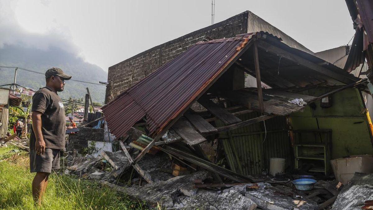
A powerful 7.7-magnitude quake struck eastern Indonesia early on Saturday, the US Geological Survey said, triggering a tsunami warning and prompting hundreds to evacuate.
The shallow quake hit Indonesia’s Flores region with a depth of 10km at 5:58am local time and was followed by two aftershocks, including one with a magnitude of 6.1.
The epicentre was 68km (42 miles) north-northwest of Ende in East Nusa Tenggara province.
“Suddenly it started to shake and I panicked,” 31-year-old hospital customer service official, Lukas Lotar, told AFP. “Patients also fled the hospital, the jolt was big. I saw some walls were cracked,” he added.
No immediate casualties have been reported.

Indonesia’s meteorology, climatology and geophysics agency (BMKG) has issued a tsunami warning and urged residents to stay away from beaches and riverbanks.
“Tsunami modelling results indicate that this earthquake has the potential to generate a tsunami in the provinces of East Nusa Tenggara, South Sulawesi, and West Nusa Tenggara,” BMKG earthquake and tsunami director Wijayanto said.
An alert was issued for waves ranging from 0.5 metres to three metres (1.6 to 9.8 feet).
Residents in the town of Maumere on Flores Island, were evacuating to higher ground, an AFP correspondent reported.
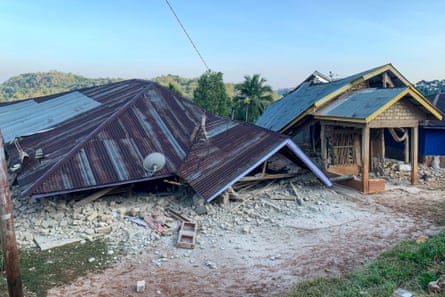
He said the sea in the area could be seen receding, a common phenomenon ahead of a possible tsunami.
Authorities have not reported any casualties, but said tsunami waves between 19 and 30 centimetres have been detected.
Indonesia, a vast archipelago of more than 17,000 islands, is prone to earthquakes and volcanic activity because of its location on the “Ring of Fire”, an arc of volcanoes and fault lines in the Pacific Basin.
Separately, Australia’s tsunami warning centre said the undersea earthquake will have “no tsunami threat to the Australian mainland, islands or territories”.
*With Agence France-Presse and Reuters